
iGeoTrans X
About
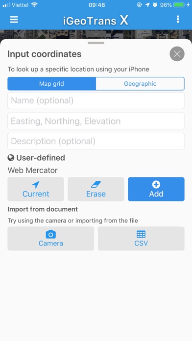
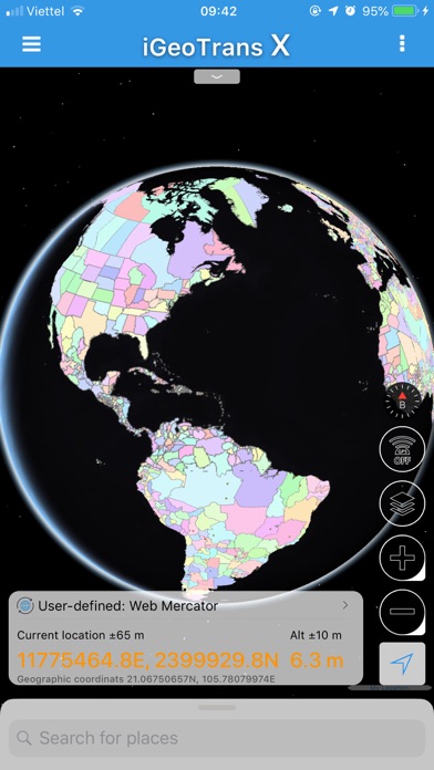
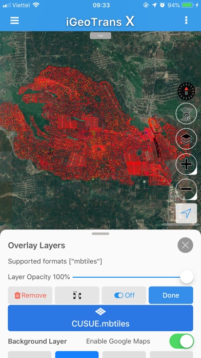
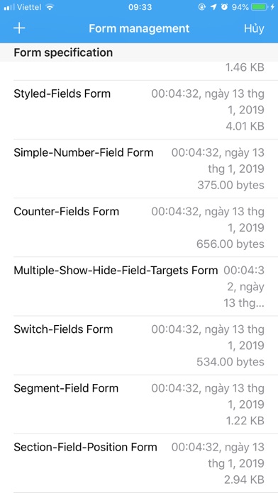
iGeoTrans X is a cloud app on the smartphone, designed to address common problems for fieldwork researchers hoping to use smartphones ad the field as GPS/GIS & Data collection devices.___________________ What can you do with iGeoTrans X:- Record the route from a specific location to the site surveys and display on the map.- Measure the distance between two specific locations by coordinates or selected on the map.- Measure the area of a region according to the coordinates list or selected on the map.- Take the photo with GPS coordinates.- Create Markers, Polyline, Polygon using GPS positioning, or import from coordinates file.- Create the geographic object (Features) using Point, LineString, and Polygon with custom forms to enter attribute data.- Synchronize data between different devices v
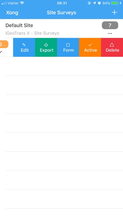
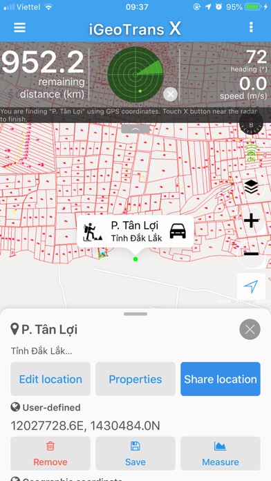
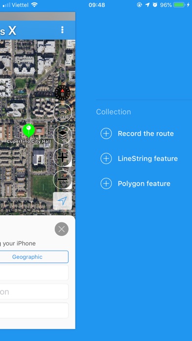
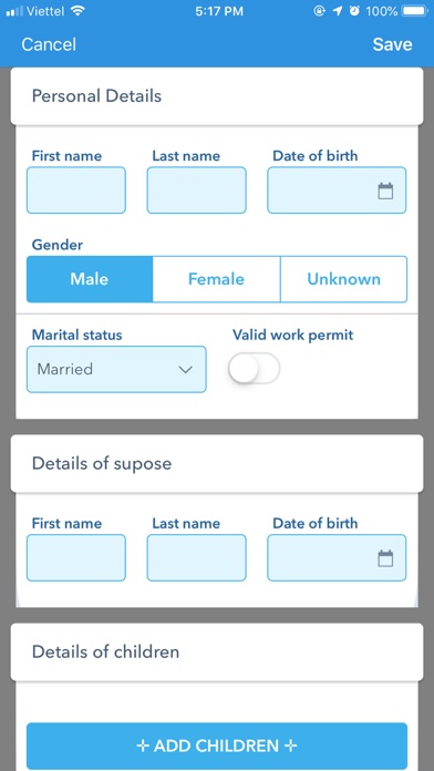
Screenshots


How to install iGeoTrans X on iOS
- Download UnKeySign on your iPhone
- Import iGeoTrans X IPA into UnKeySign
- Add your P12 certificate and provisioning profile
- Tap Sign — the app installs automatically